
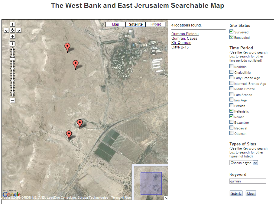
A team of archaeologists from UCLA, USC, Israel and Palestinian territories has developed the first map detailing Israeli archaeological activity in the West Bank and Jerusalem – much of it never publicly disclosed.Use THIS LINK to get to the page with further description and the links to the two versions of the map you can access, both of which use Google Maps. The first is a searchable map as shown above. You can search by period, type of site, or keyword. The other map, shown below, uses KML and opens directly in Google Maps.
The fully searchable online map, which serves as a window into thousands of years worth of archaeological sites in the Holy Lands, has won the 2009 Open Archaeology Prize from American Schools of Oriental Research, the main organization for archaeologists working in the Middle East.
 There are over 7000 sites indexed, but note that it is limited to the West Bank and East Jerusalem. As you can see in the view below, that does mean you don't have sites along the cost or in the north.
 One thing that is particularly commendable about this project is that is was a joint Israeli and Palestinian effort. In fact, "the USC Web site is part of a larger effort to devise a framework for the disposition of the region’s archaeological treasures in the event of a two-state peace agreement."
Check it out.
[HT: PaleoJudaica]


Thanks. The Palestinians have been saying for years that far more land was being taken than publicized.
ReplyDelete